Home > Europe > United Kingdom > England > London > Sights > Mile End Park
Gloucester GL55 6 Map

Only Available in the UK and Ireland
![]()
Wall Art and Photo Gifts from Map Marketing
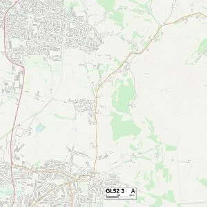
Gloucester GL55 6 Map
Postcode Sector Map of Gloucester GL55 6
Media ID 19970741
Angel Lane Arbour Close Aston Road Back Lane Bakers Hill Blind Lane Broadway Road Campden Road Castle Gardens Cedar Road Chapel Lane Church Street Corn Close Coronation Close Dixon Close Dyers Lane Elm Grove Furze Lane Garden Close George Lane Gloucester Hamilton Close High Street Hill View Close Jubilee Close Lavender Close Littleworth Lower High Street May Lane Mill Lane New Road Nursery Close Orchard Close Park Road Parsons Lane Pear Tree Close Poplars Close Porter Close Pound Lane Powell Close Ridge Close Sheep Street Station Road Stratford Road The Green Webb Drive Chipping Campden Ebrington Mickleton Plough Court Rolling Stones The Narrows Vine Court
FEATURES IN THESE COLLECTIONS
> Animals
> Birds
> Columbiformes
> Doves
> Related Images
> Animals
> Farm
> Sheep
> Related Images
> Animals
> Mammals
> Bovidae
> Sheep
> Arts
> Artists
> B
> George Baker
> Arts
> Artists
> B
> George Back
> Europe
> United Kingdom
> England
> London
> Sights
> Mile End Park
> Europe
> United Kingdom
> Scotland
> Strathclyde
> Hamilton
> Map Marketing
> Postcode Sector Maps
> GL - Gloucester
> Maps and Charts
> Related Images
> North America
> Canada
> Hamilton
> North America
> Canada
> Maps
MADE IN THE UK
Safe Shipping with 30 Day Money Back Guarantee
FREE PERSONALISATION*
We are proud to offer a range of customisation features including Personalised Captions, Color Filters and Picture Zoom Tools
SECURE PAYMENTS
We happily accept a wide range of payment options so you can pay for the things you need in the way that is most convenient for you
* Options may vary by product and licensing agreement. Zoomed Pictures can be adjusted in the Cart.