Home > Europe > United Kingdom > Scotland > West Lothian > Whitburn
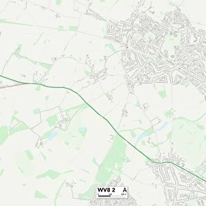
Wolverhampton WV9 5 Map

![]()
Wall Art and Photo Gifts from Map Marketing
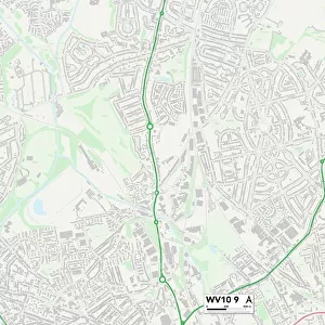
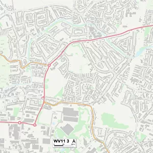
Wolverhampton WV9 5 Map
Postcode Sector Map of Wolverhampton WV9 5
Media ID 19983358
Balliol Road Broadacres Brook Close Burnsall Close Cedarwood Close Chandlers Close Church Lane Churchfield Close Elmhurst Close Greenacres Halesworth Road Hambledon Close Heron Close Huxley Close Innovation Drive Jasmine Close Lavender Close Lawn Lane Middle Lane Orchard Close Park Lane Riverside Way School Lane Somerford Close St Pauls Close Stafford Road Sunset Close The Moorings The Nurseries The Paddock Turnpike Way Valiant Way Wolverhampton Wood Avenue Woodford Close Woodlands Drive Barley Field Coven Kings Bridge Overstrand Sidestrand Willow
FEATURES IN THESE COLLECTIONS
> Animals
> Birds
> Herons
> Green Heron
> Animals
> Birds
> Herons
> Related Images
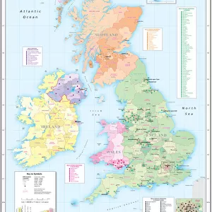
> Europe
> United Kingdom
> Scotland
> West Lothian
> Whitburn
> Map Marketing
> Postcode Sector Maps
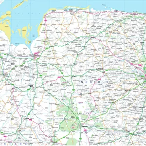
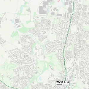
> WV - Wolverhampton
> Maps and Charts
> Related Images
MADE IN THE USA
Safe Shipping with 30 Day Money Back Guarantee
FREE PERSONALISATION*
We are proud to offer a range of customisation features including Personalised Captions, Color Filters and Picture Zoom Tools
SECURE PAYMENTS
We happily accept a wide range of payment options so you can pay for the things you need in the way that is most convenient for you
* Options may vary by product and licensing agreement. Zoomed Pictures can be adjusted in the Cart.